In January 17,
1925, Capt. H.A. Myers of the 26th Cavalry, by order of Col. Cavanaugh,
prepared and circulated a guide to provide persons interested in riding, with
information concerning the best trails an roads to take when riding out of the
Post proper. The Stotsenburg Reservation and nearby country, in general, offers
much that is worth exploring, for there is a lot of beautiful scenery and many
interesting landmarks to be found there. A list of these trails and scenic
spots, in and around Pinatubo, as well as
Bamban, are contained in the memo. Some of the names and locations of
these trails have been lost to memory.
**********
This canyon probably offers the finest scenery of its
kind around Camp Stotsenburg and should be visited at least once by every
person of the garrison. Here, one can see beautiful array of typical shrubbery,
particularly ferns, the abundance and variety of which gives the canyon its
name.
Wild fowl abound, especially the smaller birds many of which are bedecked
with the brightest of plumage. After entering the canyon proper, it narrows
down into a gorge only a few feet wide with walls of slid rock on either side
varying from 75 to more than 150 feet in height. Huge trees jut out from the
walls many feet overhead. Only at midday does the sun ever reach the depths of
the canyon and the air is always cool and laden with the fragrance of wild
flowers.
This trail, which forms part of the first part of the 24th
Field Artillery China Sea Trail, is very much worthwhile. The trail follows
along a canyon which opens out frequently into circular clearings similar to
and probably are, very old craters. There is a heavy growth of plant life on
all sides and birds and animal life abound. Interesting and unusual geological
formations are frequently encountered. The stream which flows through this
canyon furnishes a portion of Stotsenburg’s water supply and the water line and
settling basin are passed shortly after entering the canyon. Here and there are
short trails leading up into the surrounding hills. Persons talking this ride
should try and follow the trail as far as the Bamban River which is encountered
at the end of the canyon about 4 miles from the Post. Due to its being used
throughout the year and forming part of the 24th Field Artillery
China Sea Trail, this trail is generally in good shape. Take your camera.
Lying just south of the the larger and more imposing
canyon of the Three Crater Trail, Lost
Canyon is very frequently overlooked by equestrians but this oversight is
the distinct loss of the latter because Lost
Canyon, with its misleading off-shoots and dense growth offers a haven for
the seeker of the unusual and uncertain. Entering the canyon, one passes
through the gardens of several enlisted men, after which the narrow trail
follows along a small stream. The canyon is narrow and overgrown with dense
tropical shrubbery, vines and trees. Here, one can find everything in its
natural state, there being few evidences of changes made by man. Vari-colored
birds flit among the trees and shrubbery, unconscious if intruders, Air plants
such as epiphytic orchids grace the front porches of most quarters in the Post
and many varieties can be seen as they grow in their natural state. Lost Canyon extends for a considerable
distance but for the mounted visitor, only about 1 mile. There are numerous
off-shoots from the main trail easily mistaken for the latter, but all finally
coming to an end in some inaccessible spot. No doubt, some early pioneer, after
struggling to find his way through the canyon, found inspiration for giving it
its name. This is a fine place to cool off on hot, tropical days.
Following along the Southern
Boundary of the reservation from Camp Stotsenburg to Dau, this trail—which
in reality is a second class road—offers an excellent route for person desiring
to take a ride of several miles over level country. The dirt road is soft and
makes a good footing for horses, particularly if gaits faster than a walk are
desired. The trail, after being taken to the outskirts of Tacondo, leads almost
directly east to Dau. From this point, persons can either return over the same
route or take the main Stotsenburg-Dau road. The country along the entire route
is level and if desired, one can ride cross-country or; make us of the numerous
small trails which run in every direction.
5. SPANISH CUT-SECOND
AND THIRD RIVER TRAILS
This is one of the most interesting rides that can be
taken around Stotsenburg. Leaving the Post proper, the route leads past the
Forage Farm, across Pistil Gulch to the Bamban River. In making the descent to
the river, the trail leads down to a long steep bank, somewhat thrilling to
ride down, but not at all dangerous if taken slowly. Crossing the river—which
is never deep nor dangerous except in the rainy season—the trail leads into a deep
cut covered overhead with trees and shrubbery. Following up the cut which is
quite steep but accessible, the trail emerges at the top and leads on generally
North between, over and around hills, across small streams and through
thickets. The scenery here is beautiful. Second River is reached about 1 mile
North of the Bamban, and the Third River is a large pool of cool, clear,
sparkling water. This is an excellent place for swimming and in years gone by,
it was quite the thing to arrange swimming parties here, tents being taken
out of pack mules for dressing rooms.
There are any number of excellent sites along the route for staging picnics.
This trail offers an excellent route for beginners as it
runs through the sandy river bed, has an easy footing for horses and is about
the best place one can find to fall off. This trail is also an excellent place
to work frisky, nervous horses as the deep sand tends to quiet them down.
Except during rainy weather, this stream bed can be followed to a point south
east of Dolores and in very dry weather, even further. Trees line the stream
bed forming natural barriers on either side. Beginners who are reluctant to try
a trot or gallop should do their first work at increased gaits in this sandy
stretch. In going over the trail, one can either ride down as far as a point
south of Dolores and then return over the same ground or take the Banyan Trail
leading through the Banana Grove and back to the Post via Air Service,
Murrayville, etc.
This is an excellent route to take for a short ride. One
can leave the Post, cover this trail to where it joins the Dolores Road and
return in about three quarters of an hour. The trail is taken near the Air
Service then runs through the Banana Grove where the famous Banyan Tree is
passed. There is a very dense growth in the Banana Grove and as the sun seldom
filters through the thick foliage, it is always cool here. Leaving the Banana
Grove, one can either return via the Dry River Bed or take the Dolores Road
back to the Post.
8. THE ARTILLERY
TRAIL TO THE CHINA SEA
The Artillery Trail to the China Sea constructed by the
24th Artillery is open from about the first of November to the first
of July for individually-mounted parties and pack animals. A 2 ½ hour ride,
without one hill, brings one to Camp 3 located on the Bamban River. An
excellent place for a picnic or to camp (plenty of tent poles, benches and
firewood always on hand). A good swimming hole about 200 yards from the camp.
During this ride, you will pass through th
4 craters and are struck by the scenic beauty and marvelous rock
formation, reminders of the Pre-Glacial
Age.
About a half hour’s ride from the fourth crater, the
typical forest begins and continues to the base of Mount Pinatubo. The beauty
and wonders of this forest cannot be appreciated unless seen. There is
practically no animal life but abundant flora; ferns, air plants, orchids,
giant fern trees and other tress 250 feet tall and 25 to 30 feet in diameter.
Other beautiful flora peculiar to this forest only, and never named.
From Camp 3 to Camp 4 is about a 1 hour ride following
the Bamban River over a practically level trail. Camp 4 is a good halfway camp
if going to Pinatubo. Animals should be rested and packs removed before going
up out of Bamban as at this point, the only difficult climb begins. The trail
follows a gorge out of the Canyon of the Bamban and reaches the divide between
the Bamban and Dry Pasig valleys. After following the divide for about four
miles, you make a slight descent coming out of the forestand by a slight climb
into Zambales Pass and Camp 6. The altitude of Camp 6 is about 4,000 feet The
cool climate and invigorating atmosphere rivals Baguio. It is an excellent
place to camp with plenty of good spring water available.
The view from Zambales Pass is incomparable with anything
in the Philippine Islands. Looking back to the east, the plains of Pampanga are
visible for scores of miles and to the West, the mountains of the coast and
over them,the China Sea and the Capones islands. From Camp 6, you should ride
about a mile further to the north and view Pnatubo Crater. It is beyond
description with its walls rising from 500 to 2,000 feet. Parties should not
attempt to go beyond this pint unless prepared to stay out sometime. Also,
parties going beynd Camp 3 should consist of at least 5 persons, and should be
armed.
This trail requires about 4 hours to cover but is very
worthwhile, and should be taken at least once by everyone. It runs from the
Post proper to Sapang Bato Ridge, and then southwest through numerous
cultivated areas, a hacienda, a large coconut grove, the latter the only one
near the Stotsenburg reservation. Several pretty canyons are crossed and the
country in general, offers much in scenic beauty. The trail terminates at what
is known as Dry Pasig, a stream bed usually having little, if any, water but
deriving its name from the fact that the head waters of the Pasig River
originate in this area. The trail, of course, continues on further from this
point, but persons coming from Camp Stotsenburg will hardly care to ride
beyond.
The ride to the summit of Griffiths Peak is one of the
nicest that can be taken in or around Stotsenburg. The climb up the Peak is
steep but not difficult, and once at the top, one can get a very excellent vew
of the country for miles around. On clear days, the Central Luzon Valley
stretches out to the east and is plainly visible as far as the mountain ranges
that run North and South along the Pacific coast of Luzon. Angeles, San
Fernando, San Pedro Magalang, and in fact, all of the towns and barrios to the
east and South can be seen on clear days. If one cares to take the ride, there
is a rail running down the northwestern slope of Griffiths Peak that leads to a
point on the Bamban River just above the Intake Station, the latter being where
Stotsenburg secures its water supply. The trail from the high South bank of
Bamban, down to the stream bed where the Station is located is too steep to be
attempted by a horse. However, persons can go down dismounted with no
difficulty and should do so as the spot where the Station is located is
picturesque. At one point near is a long tunnel where the water line runs under
a high hill. This tunnel is large enough for a person to walk through and
offers an interesting diversion for persons desiring to explore . This trip
should best be taken after the grass has been pruned off and only in dry
weather.
This hill is reached by so many trails that any attempt
to describe them all is difficult and unnecessary. It is possible to approach
the hill from most any direction and encounter a trail or several of them.
However, there are a few general routes over and around the hill which offer
the best footing and are therefore the most advisable ones to follow. First,
there is a trail which runs West along the crest of a ridge that begins back of
the T line. This trail goes over the Reservoir Hill and on along the ridge,
turns North and then goes to a point on
the South side of Top ‘O the World. From here, one can go up to the uppermost
point on the Top ‘O the World or else proceed on West along the south side of
the hill, and then northwest along the ridge that runs along the Top ‘O the
World to Griffiths Peak. From the highest point of Top ‘O the World, there is a
trail that running dwn the crest of the ridge in a northeasterly direction.
This is called the “Knife’s Edge” . The trail is very narrow with steep slopes
on either side. None but the very experienced rider who has confidence in his
horse should ride over this portion of the trail. The view from Top ‘O the
World is excellent. Persons desiring to cover a formidable but safe hill trail
should take one of the several trails leading up and around Top ‘O the World,
as they are all in good condition, well-travelled and offer no onstacle which
the average rider on the average horse should not be able to negotiate.
CREDITS, PINATUBO
TRAILS:
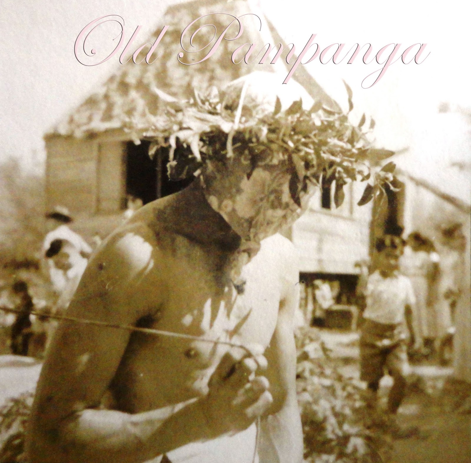
NOTE: While most of these photos are Stotsenburg photos, some are representational.